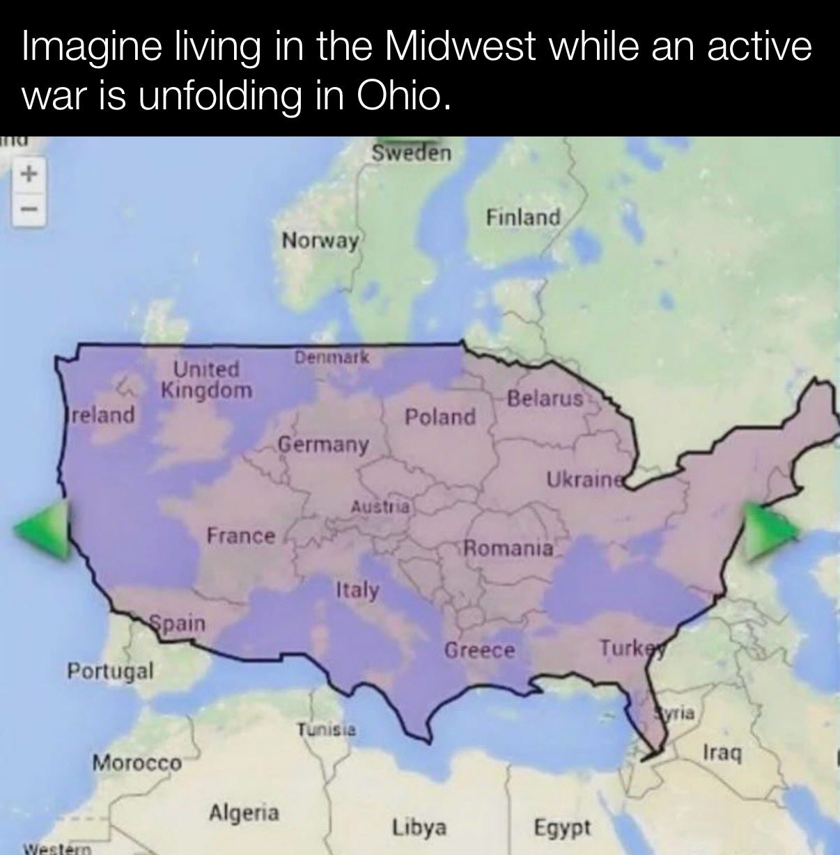
One of the most common criticisms of the Mercator map is that it exaggerates the size of countries nearer the poles, while downplaying the size of those near the equator
For example, let’s move Russia towards the equator
Mercator does compensate for that by introducing reference rectangles. But of course, that doesn’t help when people making posts using those maps, are unaware of how to read them. And also just remove said reference rectangles